
The U.N. General Assembly on Friday endorsed a resolution calling for wider use of world maps that more accurately depict Africa’s size, a measure led by Togo and backed by the African Union to challenge distortions built into the widely used Mercator projection.
The resolution passed with 164 votes in favor, six abstentions and one vote against the lone “no” coming from the United States. It promotes more geographically accurate projections, including the Equal Earth projection, which preserves continents’ relative size far better than Mercator does.
The effort, part of the “Correct the Map” campaign, contends that conventional world maps have long distorted global perceptions of Africa’s true scale.
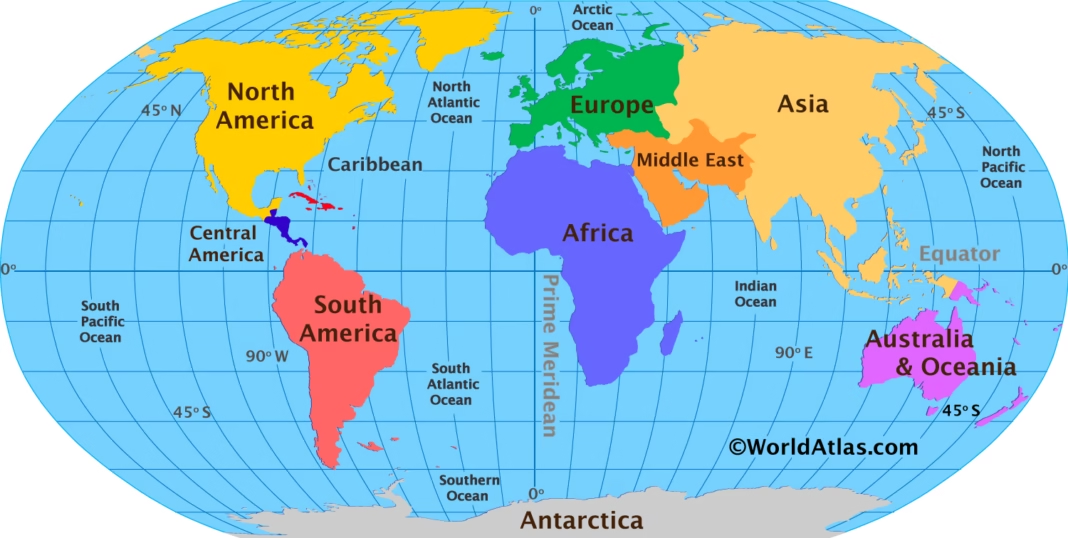
Developed in the 16th century primarily as a navigation tool, the Mercator projection enlarges land masses farther from the Equator while shrinking those near it. The effect: Greenland often appears roughly the same size as Africa on standard maps, though Africa is actually about 14 times larger.
“A fair world begins with a fair map,” Togo’s Foreign Minister Robert Dussey said ahead of the vote, according to Reuters.
More than a map
The resolution is not legally binding. It doesn’t ban the Mercator projection which remains useful for navigation or redraw any borders or alter any country’s territorial status. Its impact is symbolic and educational: it encourages governments, international bodies, schools and mapmakers to consider projections that better reflect the world’s true proportions.
Supporters argue that visual representations of geography shape how people understand economic power and global standing — making the map itself a stand-in for larger questions about how Africa is perceived.
The push is part of a broader movement among African governments and institutions to reassess narratives and systems inherited from the colonial era.
Why Africa is at the center
Africa spans roughly 30.3 million square kilometers, making it the world’s second-largest continent. But on Mercator maps, equatorial regions including most of Africa appear far smaller than their true area relative to land masses at higher latitudes.
That distortion is a mathematical byproduct of the projection, not a deliberate alteration of Africa’s borders. Still, campaign advocates say its constant use in classrooms, newsrooms and digital platforms has cemented a misleading picture of the continent’s scale.
The Equal Earth projection, introduced in 2018, was built specifically to fix that representing continents’ relative sizes more accurately while keeping a familiar, recognizable map layout.
The vote won’t mean an overnight end to Mercator maps. But it gives political weight to efforts already underway to diversify the projections used in classrooms, government agencies and digital mapping tools.
A symbolic diplomatic win for Africa
The vote marks a significant diplomatic success for Togo and the African Union, drawing overwhelming international support despite U.S. opposition and six abstentions.
Supporters say the outcome shows how a seemingly technical issue cartographic design can become entangled with larger debates over representation, history and global equity.
Togo has said it will update its own school geography materials and push for broader adoption of more accurate projections elsewhere.
The resolution doesn’t change Africa’s physical size. It changes how the world is being asked to see it.